A landscape drawn by water
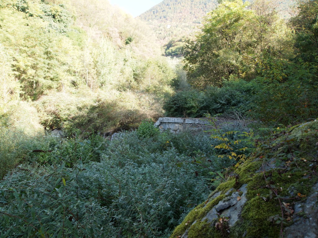
The village of Chiuro has settled near a slope, partly wooded and partly terraced, at the end of the Val Fontana, on the large Ron conoid. A territory shaped by the interaction among the inhabitants and the water as local economy driver.
The slope is very steep and contributes, as evidenced by the toponym, to discharge water downstream and not only, causing runoff, sediment transport and erosion, especially during relevant storm event.
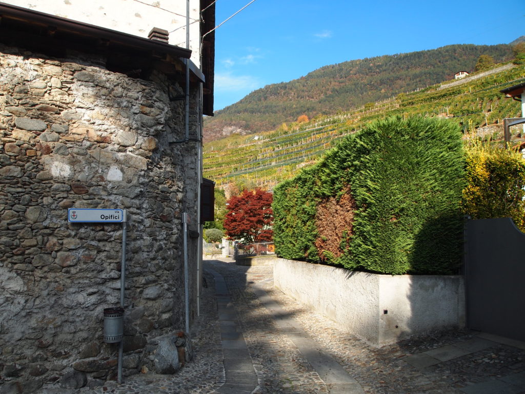
In the Comunità Montana Valtellina di Sondrio, the village of Chiuro, (2.500 inhabitants), has developed and is known above all thanks to a solid agricultural tradition (apple and wine production), which has shaped the landscape with a suggestive frame of terraces; behind the terraced landscapes the mountains offer, with an altitude from 349 to 3248 metres above sea level, a starting point for excursions and walks; the visitor can both experience naturalistic-environmental tourism and enjoy the agricultural and eno-gastronomic tradition.
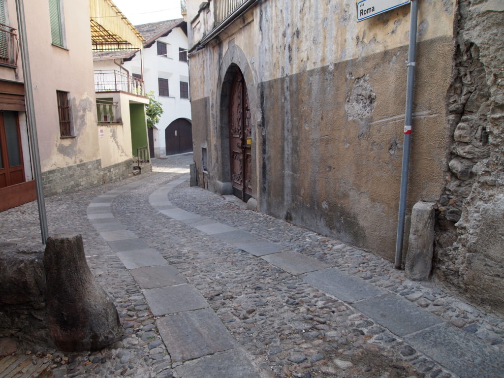
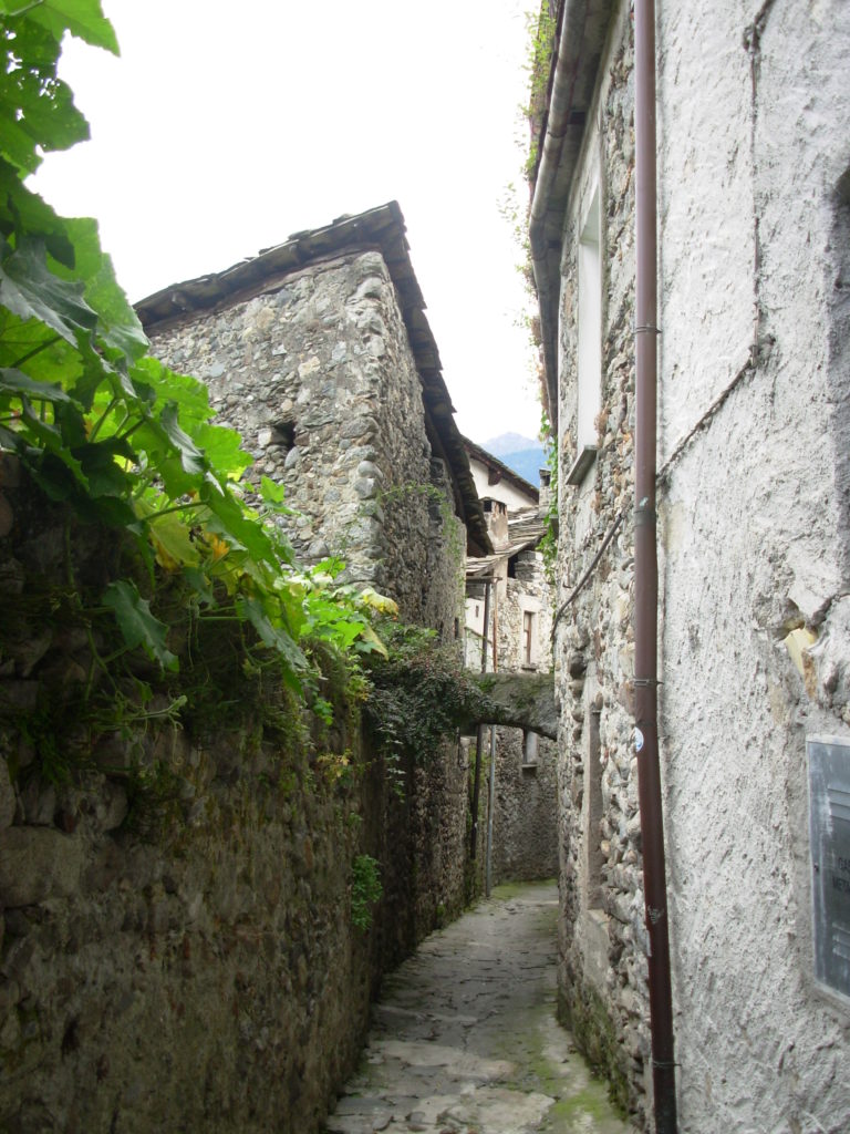
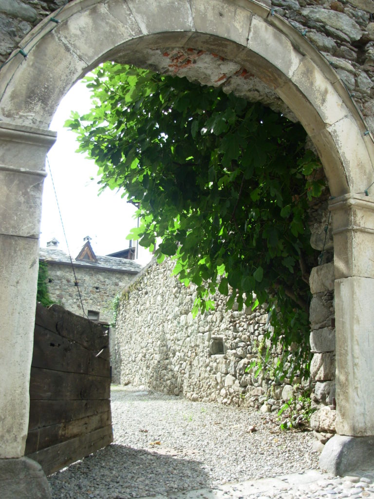
As reported in historical and ethnographic tales, in ancient times there was a close relationship between local settlement forms and water (the Valfontana river but also other minor streams). The settlement layout already in medieval times shows the presence of protection and adaptation solutions to the risk of “regular” runoff coming from the slope. The structure of the built-up area is in fact built with a network of narrow paths different from those reserved for normal transit; the difference is in their size, but above all in the path paving, shaped to allow water to flow through a controlled system; mobile bulkheads known as “us’cere” or “antùn” were positioned to protect houses and courtyards and divert the water flowing along the streets. This form of protection and defence is made indispensable since the economy and traditional local production were based on water, the very same water coming from the river and irrigation ditches and a precious hydraulic motor, as often happens for human settlements.
